
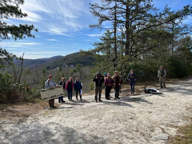
Monitoring the health of our waterways is an essential part of effective stewardship and conservation. WATR teams regularly monitor the tributaries of the Tuckasegee watershed. Join us to protect your watershed!
Citizen Scientist Teams – Join us to monitor across our watershed.
Our nation’s fresh water system is so vast that EPA strongly urges “citizen scientists” to track and report water quality. There is no prior experience needed to be a citizen scientist. Over time, we will look to these members for support of reasonable regulations and effective enforcement, because they are on the front lines and have inside knowledge of the watershed.
Swim Guide
The Swim Guide monitors fecal ecoliform and sediment for recreational areas on the Tuckasegee River and in the Tuckasegee watershed. We are testing for unhealthy animal waste, sewage, and sediment levels in the Tuckasegee River watershed. It’s called the Swim Guide because it monitors whether it is ok to swim in the water!
We currently take water samples in 13 locations across Swain & Jackson Counties. In 2023 we plan to add additional sites in Little Tennessee in Macon County. We have the potential to sample up to 20 sites in total. We monitor these sites weekly from April through October.
WATR monitors these Swim Guide sites:
Jackson County
Tuckasegee River Barker’s Creek Access
Scotts Creek Dillsboro Park Access
Tuckasegee River CJ Harris Access
Tuckasegee River Jackson County Webster Access
Tuckasegee River Cullowhee Access Area
Tuckasegee River Jackson County East LaPorte Access
Tuckasegee River Locust Creek Access Area
Tuckasegee Lake Thorpe Access
Tuckasegee River Shook Cove Access Area
Lake Glenville Pine Creek Access Area
Oconoluftee River Oconoluftee Island Park
Swain County
Tuckasegee River Bryson City Island Park
Tuckasegee River Ela Access
Get the Swim Guide App and learn more details here.
Download the Swim Guide TODAY!
![]()
![]()
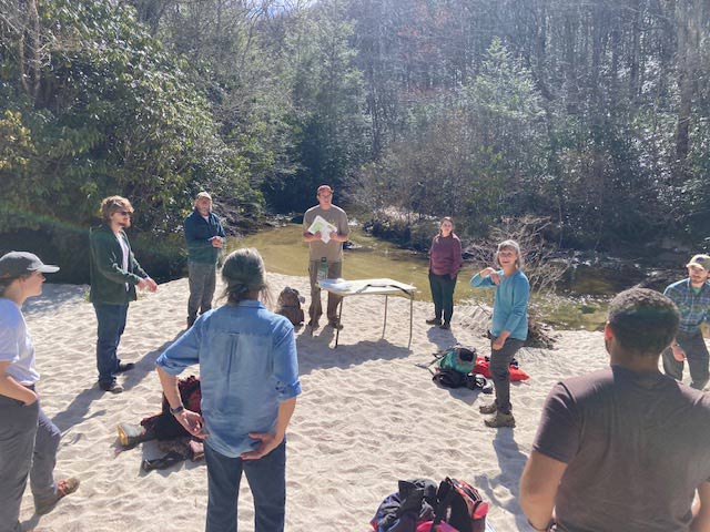
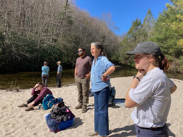
VWIN Monitoring Team
The VWIN – Volunteer Water Information Network – is one of EQI (Environmental Quality Institute) major programs. This volunteer-based surface water monitoring network began in 1990 and works across all of western North Carolina. On the 4th Saturday of each month, members of this team collect water samples from 16 sites on creeks and the Tuckasegee main stem. Typically, samples are left at drop points in iced coolers. A volunteer then drives them to Asheville to deliver them to the Environmental Quality Institute lab. Under the direction of Ann Marie Traylor, the samples are analyzed for nutrients, sediment content, turbidity, and other basic parameters. These data provide an important picture of water quality over time, and they have been critical in obtaining grants. WATR restarted its VWIN program in 2022, and we are really excited about participating and collecting important data from our Swain and Jackson Counties watershed that are otherwise NOT monitored.
Resources:
- 2022 VWIN Monitoring Sites Information
- Contact us if you are interested in participating.
- Learn more about VWIN and the Environmental Quality Institute.
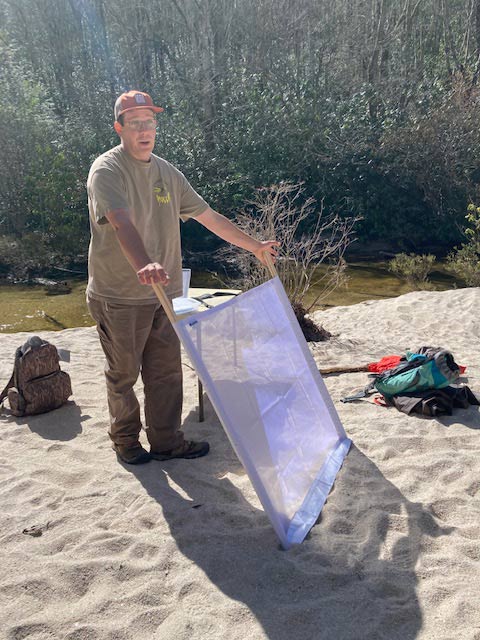
SMIE Macroinvertebrate Sampling Team
WATR holds trainings for members who have a curiosity about aquatic ecology and an eagerness to help characterize our water quality. The types and numbers of aquatic insects in a creek can provide a good indication of the pollution status of that creek. Contact us if you are interested.
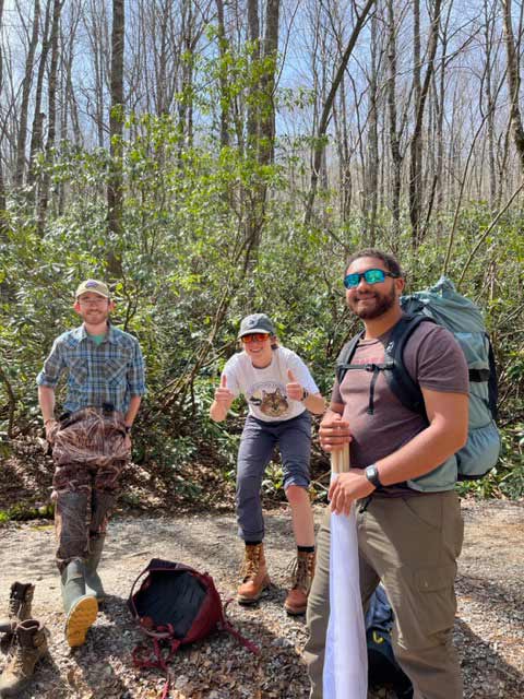
Fish Sampling Team
We collected fish samples each season to gauge the health of the fish population. Sampling events are “on the job training” and a great experience. No prior training required, just enthusiasm and a willingness to work in the creek! Contact us if you are interested.
Sources and Conveyances Information Tracking (SCITS) Monitoring Team
Sources and Conveyances Information Tracking (SCITS) is the first three-part program developed by the North Carolina Division of Water Resources (DWR) with a robust instructional methodology developed to assess, describe, and map sources of erosion/sediment and other pollutant threats to our streams. In plain English – SCITS is all about finding and stopping erosion and sedimentation sources in our Tuckasegee watershed. If you are an angler, you know that when it rains hard here, the Tuck quickly turns chocolate brown or muddy orange-brown, with heavy sediment runoff that chokes aquatic life (think trout) and makes it impossible to fish.
WATR was the first of only two watershed organizations in Western North Carolina to implement this pilot program in our watershed. This is a huge deal, made possible only because of the expertise, long-time experience, and relationships of WATR’s Executive Director, Ken Brown.
The three-part program:
- SCITS data is assessed and developed by the waterway.
- Data uncovering serious problems then enters the second part of the program called Watershed Improvements Project Tracker (WIPS).
- The data then is used to develop Watershed Action Plans (WAPS) that are submitted for funding opportunities to enhance and protect the waterway in question.
WATR is leading the monitoring of no less than twelve sub-watersheds! These tributary rivers, creeks, and streams will use this SCITS technology to assess threats and seek funding for improving water quality and riparian buffers, benefiting all levels of the ecosystem, including human health and recreation.